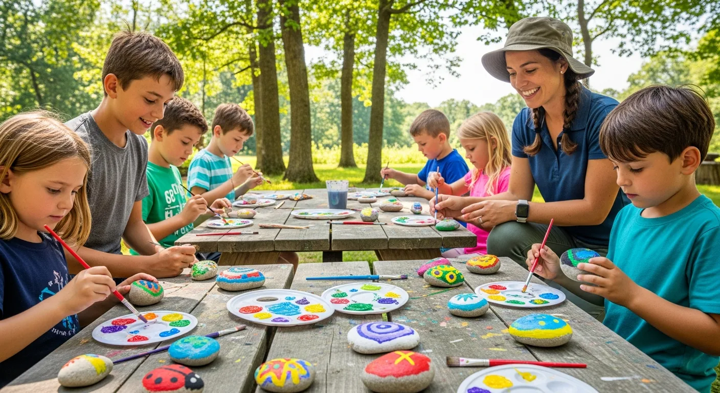
Teaching geography through rock tracking transforms abstract map concepts into tangible, exciting real-world experiences. When students track a painted rock's journey across cities and countries, they naturally engage with distance, direction, borders, terrain, and cultural geography - all without realising they are studying.
This article presents practical geography lesson ideas using RoxGeo's rock tracking platform, designed for educators who want to make geography come alive in their classrooms.
Why Rock Tracking Works for Geography
Traditional geography lessons often rely on memorising capital cities and reading static maps. Rock tracking adds a dynamic, evolving narrative that keeps students engaged because:
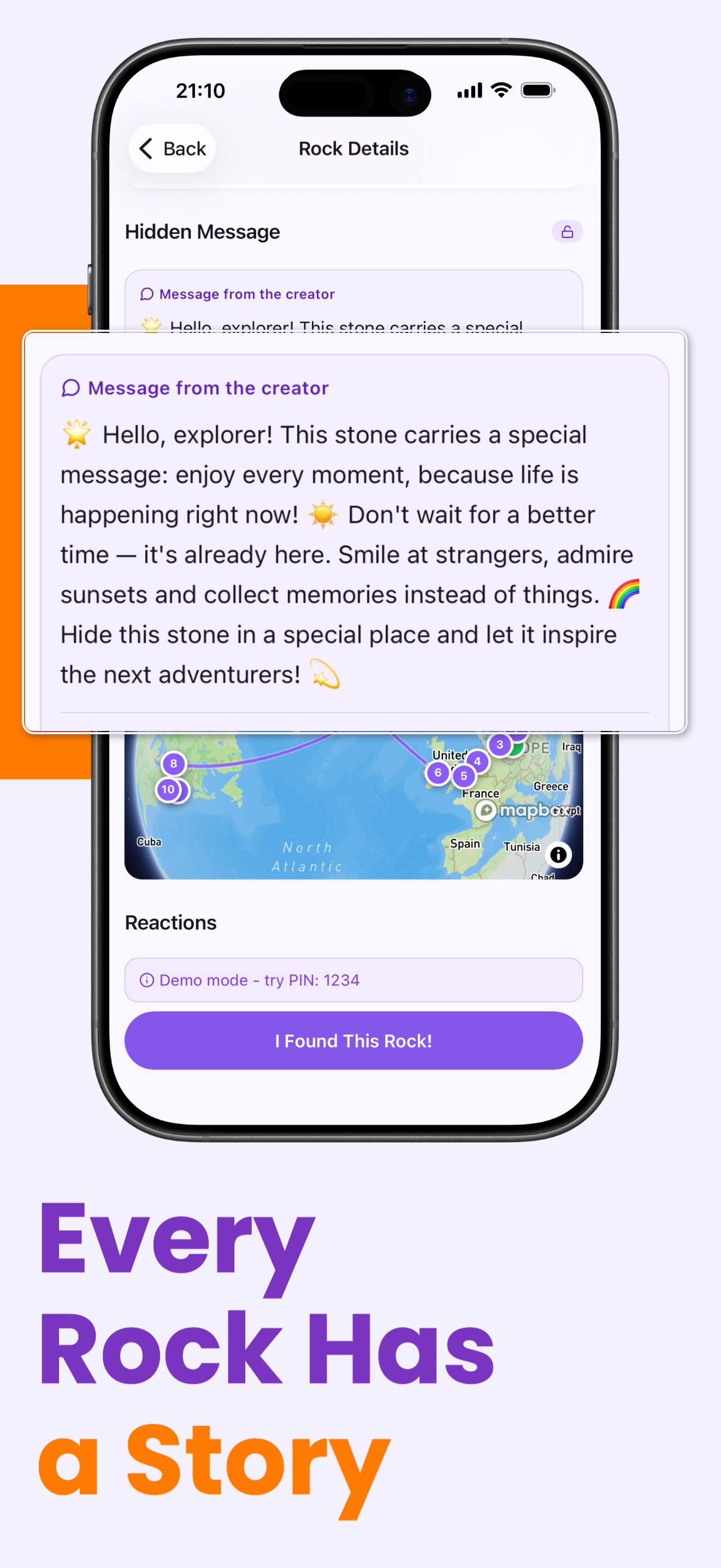
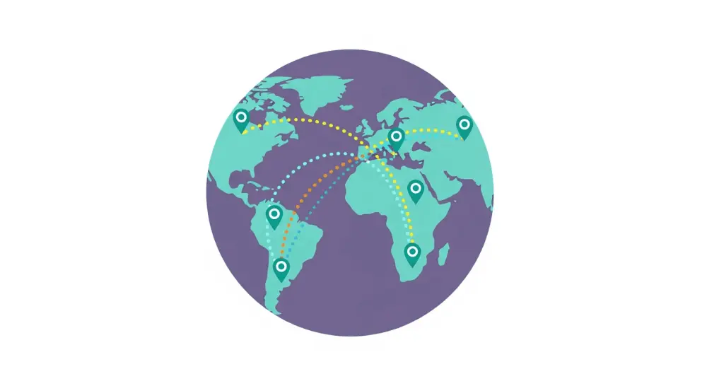
- Every rock journey generates real data - actual locations, distances, and routes that change over time.
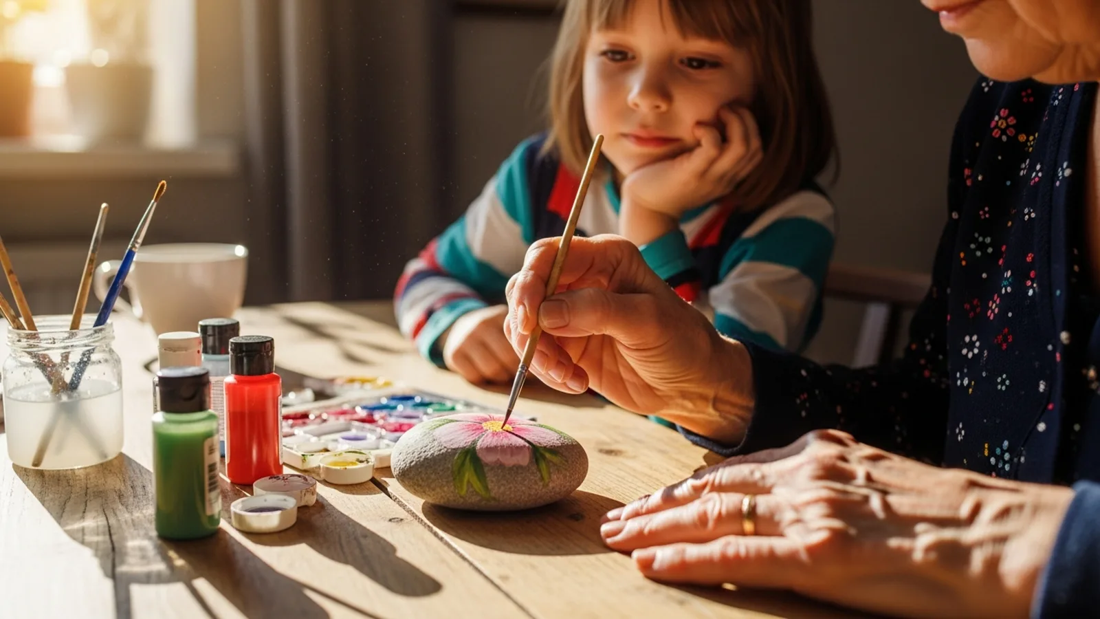
- Students develop an emotional connection to the subject because they created the rock and care about where it goes.
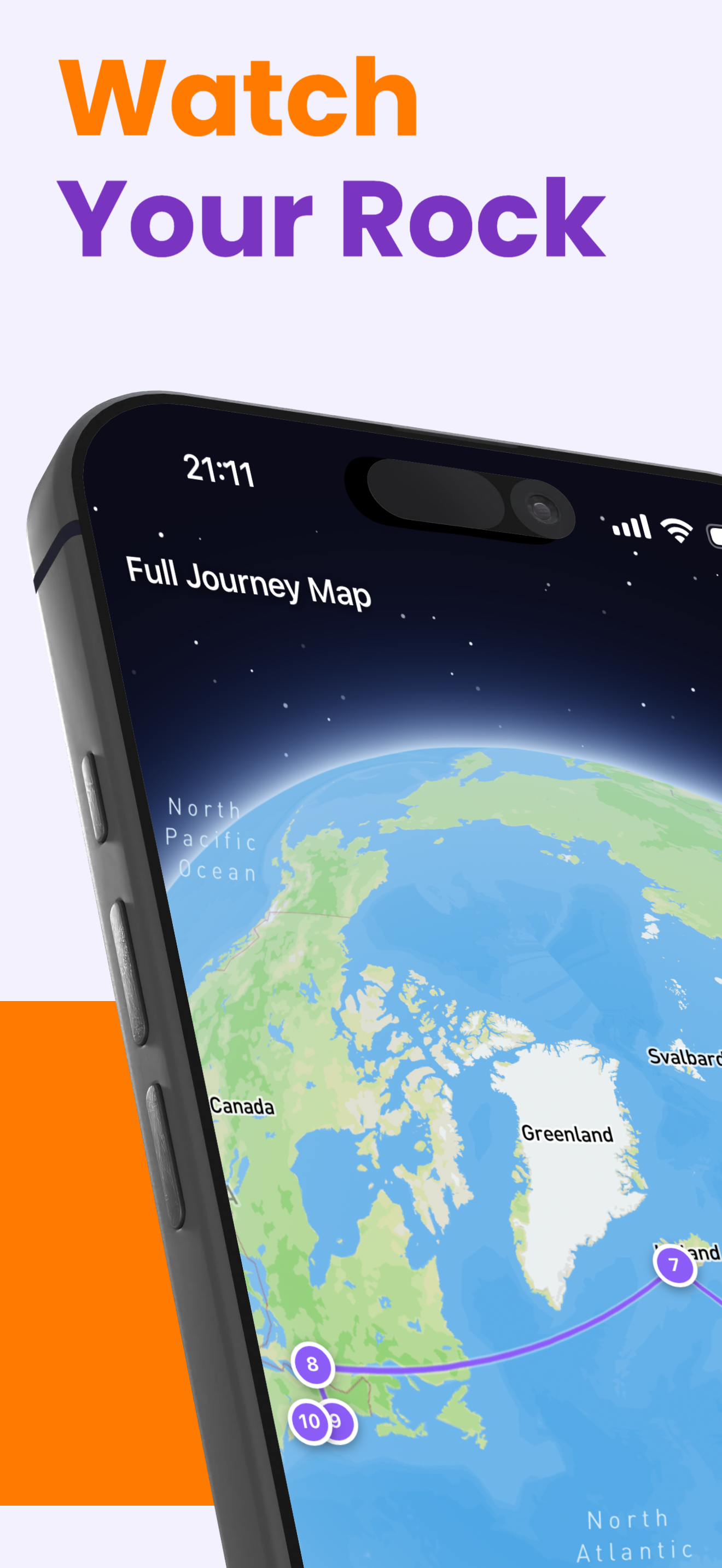
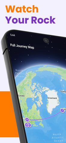
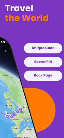
- Journey data is visual - plotted on interactive maps that students can zoom, pan, and explore.
- It encourages curiosity about places - when your rock arrives in a new city, you want to know everything about that place.
Lesson Idea 1: Distance and Measurement
Use rock journey data to practice measuring distances on maps. Students can:
- Plot the rock's journey stops on a physical wall map using pins and string.
- Calculate the straight-line distance between each stop using map scales.
- Compare straight-line distances with actual travel distances.
- Convert between kilometers and miles.
- Estimate which mode of transport was most likely used between stops.
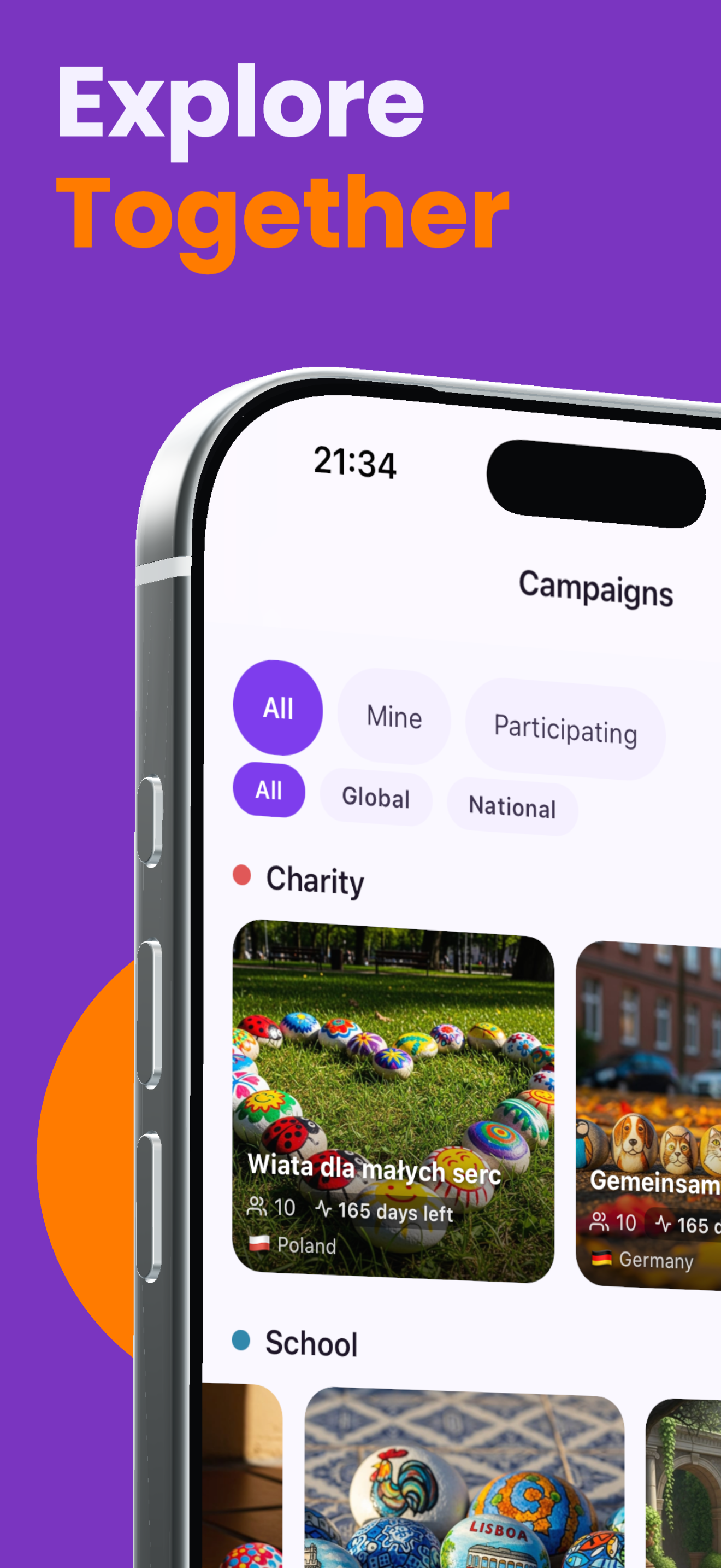
Lesson Idea 2: Countries and Cultures
When a tracked rock reaches a new country, it becomes a gateway to cultural geography:
- Research the country - capital, language, population, climate, and landmarks.
- Explore cultural differences - what games do children play there? What food is popular?
- Compare the rock's location to the students' home country - what are the similarities and differences?
- Learn about borders - which borders did the rock cross? Are they physical or political boundaries?
Lesson Idea 3: Climate and Environment
Track how a rock moves through different climate zones and environments:
- Identify the climate type at each stop - tropical, temperate, continental, polar.
- Discuss what weather the rock might have experienced during its journey.
- Explore the vegetation and wildlife typical of each region.
- Connect to environmental science - how do different climates affect the rock's paint and sealant?
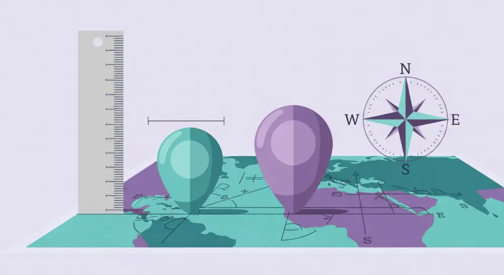
Lesson Idea 4: Mapping Skills
Rock tracking naturally develops essential mapping skills:
- Grid references - locate stops on maps using coordinates.
- Compass directions - describe the rock's movement in cardinal and intercardinal directions.
- Map symbols - identify terrain features near each stop location.
- Scale - use map scales to calculate real-world distances.
Class Project: The Journey Journal
Have each student or group maintain a "Journey Journal" for their tracked rock. Each time the rock is found in a new location, students add a journal entry that includes:
- A map showing the new location marked and connected to previous stops.
- Research about the new location - geography, culture, and interesting facts.
- Distance calculations from the previous stop and total journey distance.
- A creative writing piece imagining the rock's experience at its new location.
This ongoing project builds skills throughout the academic year and creates a lasting record of each rock's adventure.
Get started with geography through rock tracking using RoxGeo for Schools. It is completely free and designed to support educators in delivering engaging, curriculum-aligned geography lessons. Check our FAQ for information on setting up classroom accounts.