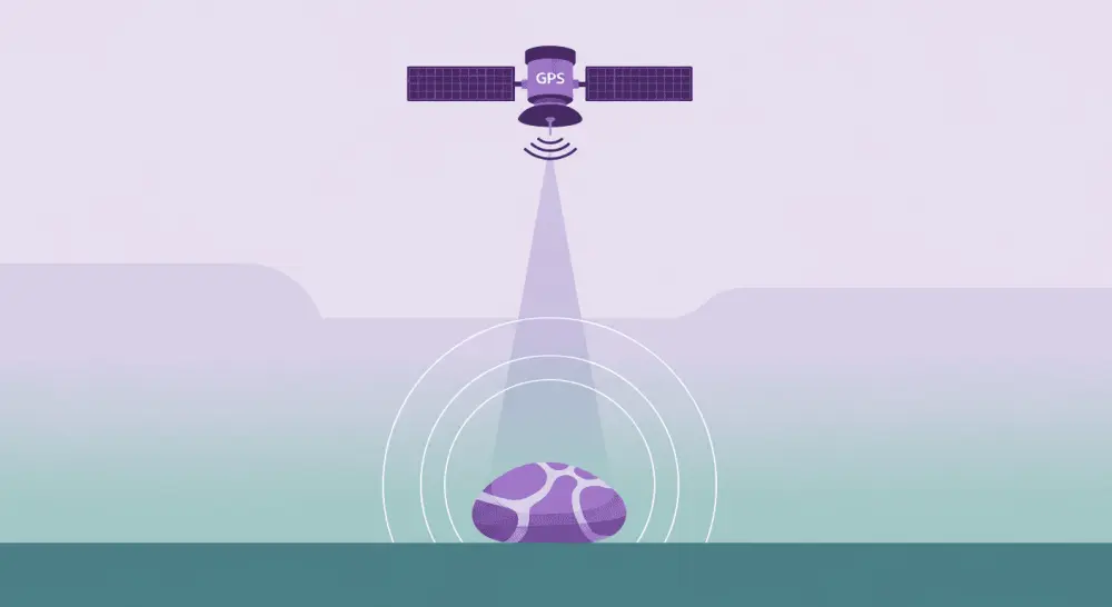
GPS verification is the backbone of RoxGeo's tracking system. It ensures that every logged rock find is genuine and that the journey data you see on the map reflects real-world travels. Without GPS verification, anyone could claim to have found a rock from anywhere in the world, making the tracking data meaningless.
In this article, we explain how GPS verification works in RoxGeo, why it matters, and how we balance accuracy with user privacy.
How GPS Verification Works
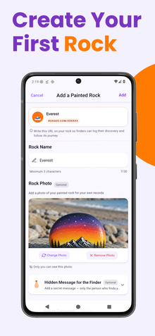
When you check in a rock find on RoxGeo, the app requests your device's GPS location. This happens automatically and takes just a few seconds. The GPS coordinates are then verified against several criteria:
- Location plausibility - the system checks that the GPS reading comes from a realistic, inhabited location, not the middle of an ocean or an uninhabitable area.
- Device authenticity - the GPS signal must come from a genuine device sensor, not from a spoofed or emulated location.
- Timing consistency - if the same user logs finds in distant locations within impossibly short time frames, the system flags these for review.
Why GPS Verification Matters
GPS verification serves several critical purposes:
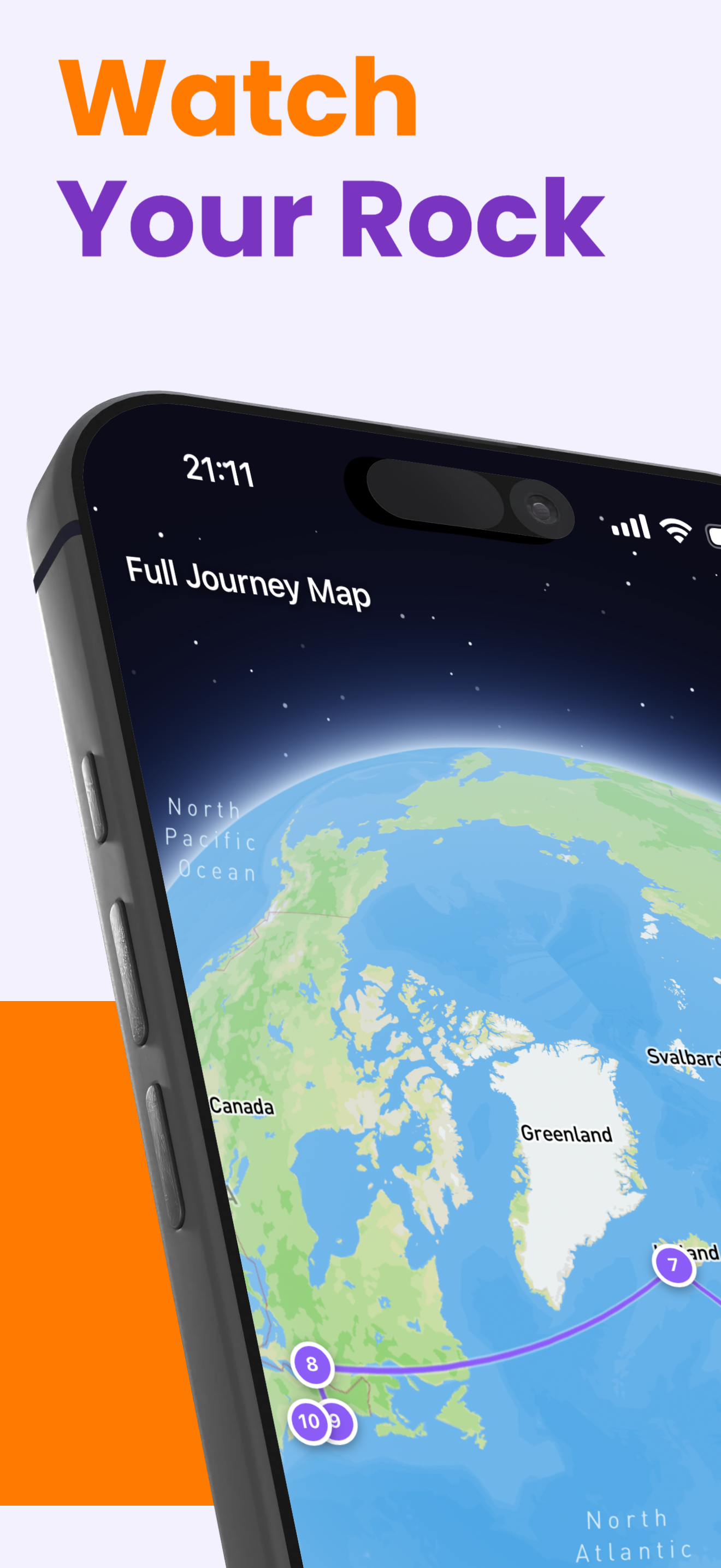
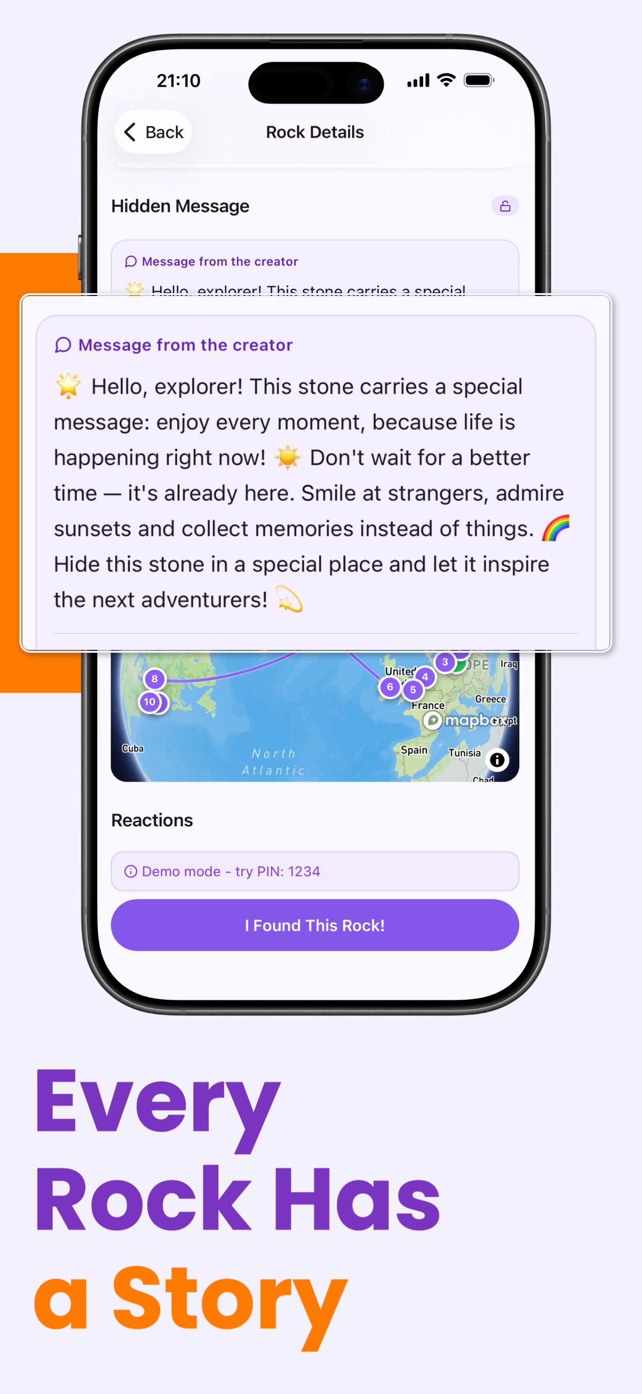
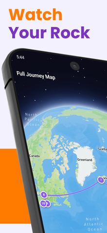
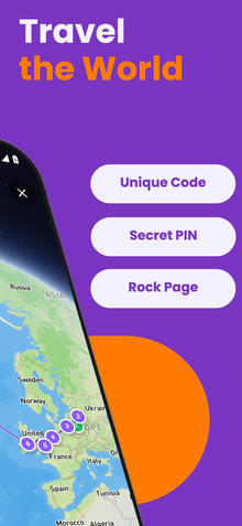
- Data integrity - every pin on a rock's journey map represents a real physical location where someone held the rock. This makes the journey stories authentic and meaningful.
- Community trust - when you see that your rock traveled from Warsaw to Berlin, you can trust that it really made that journey. GPS verification builds confidence in the community.
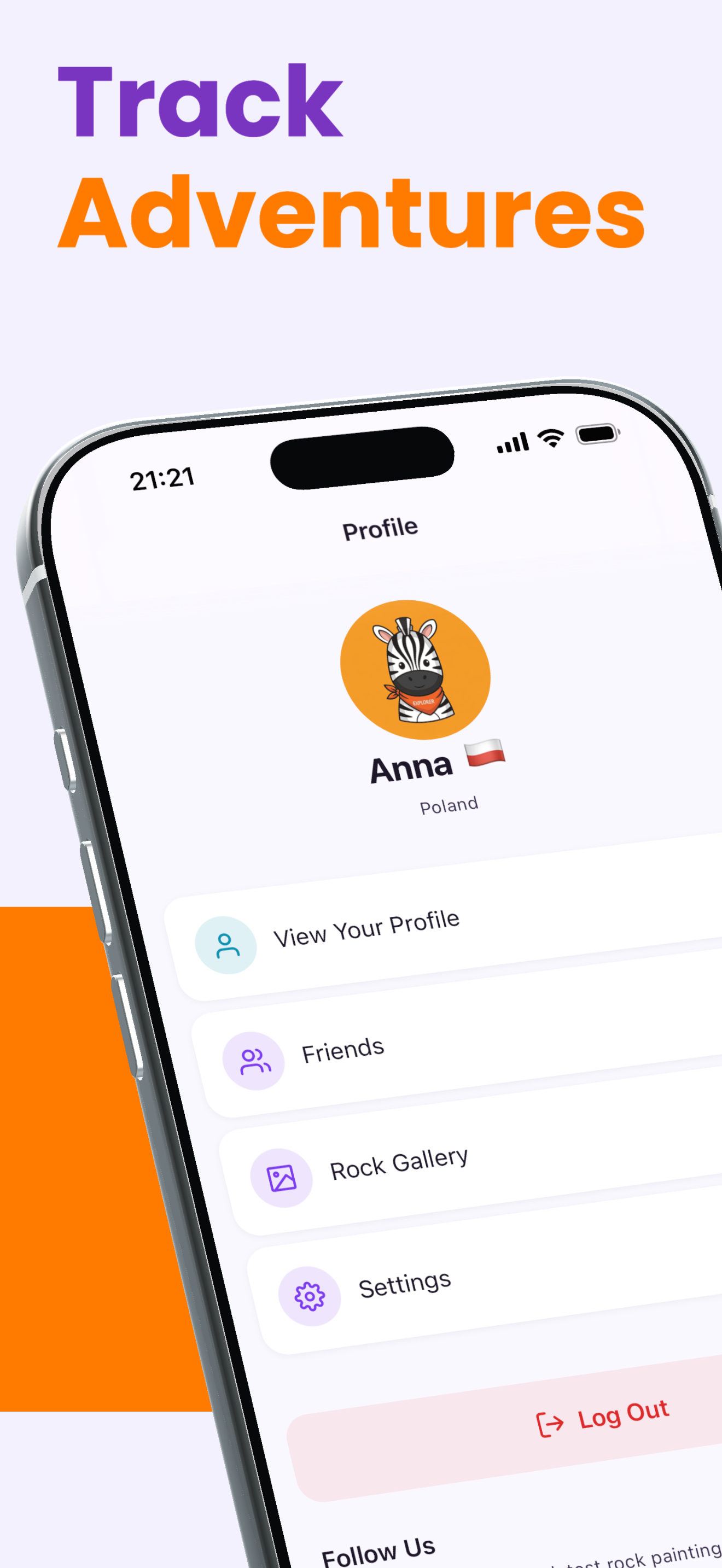
- Fair achievements - RoxGeo awards badges and achievements based on activity. GPS verification ensures these rewards go to genuine participants, not to users gaming the system.
- Accurate statistics - distance calculations, city counts, and journey metrics all depend on verified location data.
Privacy and Location Data
RoxGeo takes privacy seriously. Here is how we protect your location information:
- GPS coordinates are generalised to a neighbourhood level before being displayed. Other users see the city or district, not your precise position.
- Location data is used only for rock journey tracking - never for advertising, profiling, or third-party sharing.
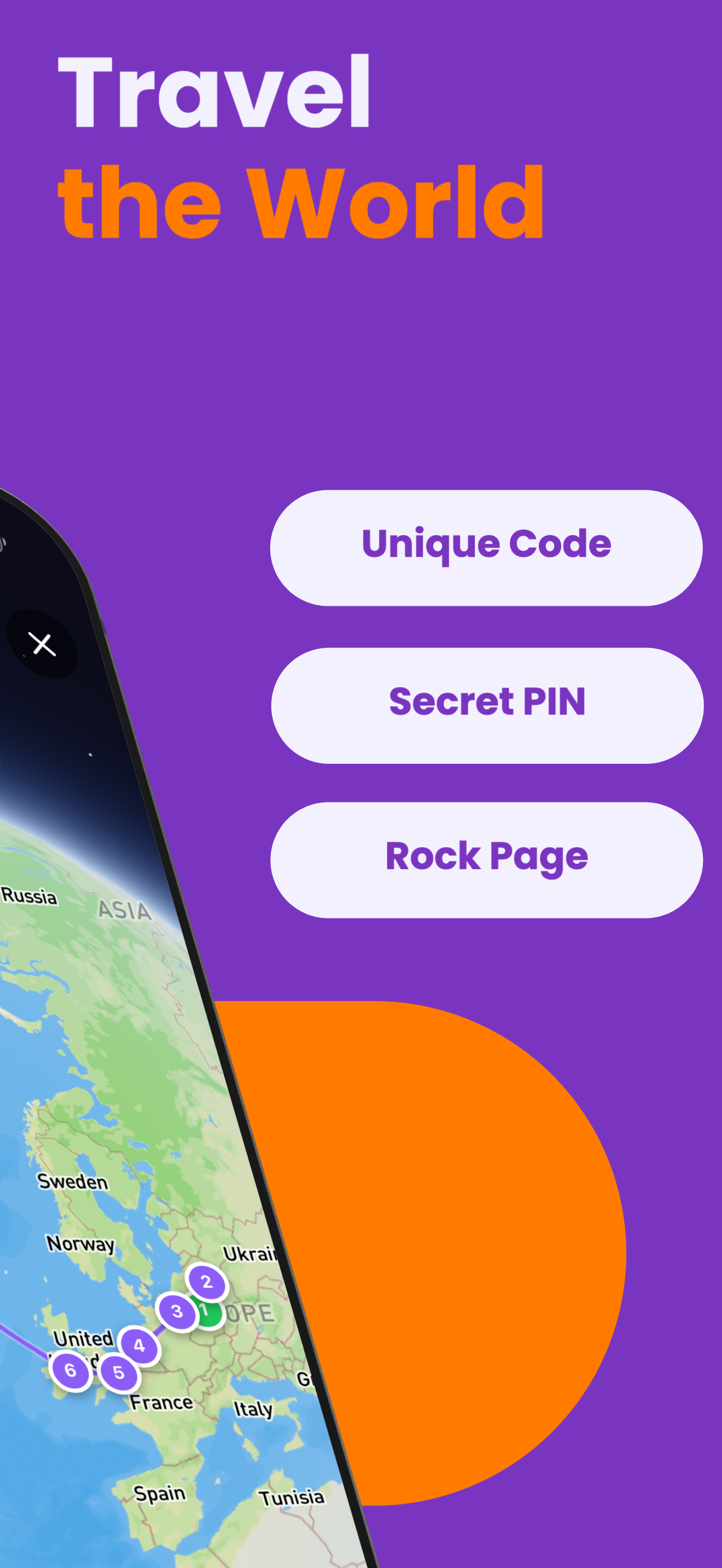
- You can always decline location access, but you will need GPS enabled to verify a find. This is a one-time action per check-in.
- RoxGeo follows strict data protection standards and never stores more location data than necessary.
What Happens if GPS Is Unavailable?
In areas with poor GPS reception - such as dense forests, underground locations, or heavily built-up areas - the app may struggle to get an accurate reading. In these cases:
- The app will attempt to use Wi-Fi and cell tower triangulation as a backup.
- If no reliable location can be obtained, you can try again in a slightly different spot with better reception.
- Indoor finds may have lower accuracy but are still accepted if the general area can be determined.
Anti-Fraud Measures
RoxGeo uses several layers of protection beyond basic GPS verification to maintain data quality. These include pattern analysis for suspicious activity, community reporting for questionable finds, and automated review of statistical anomalies. The goal is to keep the experience fun and authentic for everyone.
GPS verification is what makes RoxGeo tracking reliable and exciting. Every verified find adds another genuine chapter to a rock's story. Learn more about how our tracking system works in our FAQ section.